Along the Emerald Coast
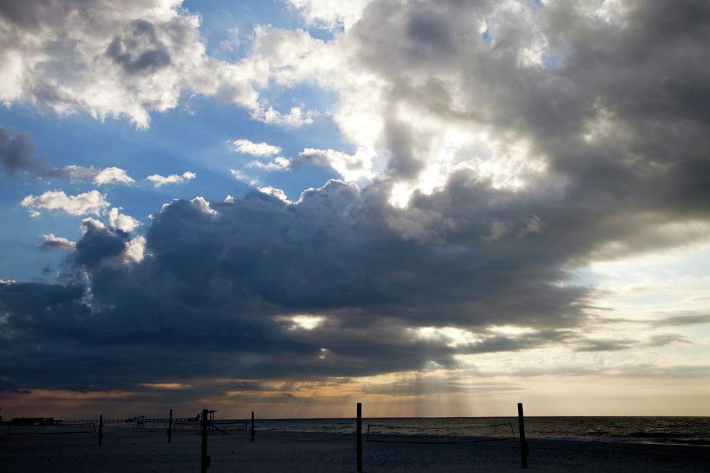
For the first part of the day, the road followed along the Gulf coastline. We crossed some incredible bridges over the bays and inlets. Several were so long that drivers were cautioned to check their fuel before setting out to cross. Unlike Mississippi and Alabama, every available space of beachfront was developed into homes, condos or retail. There were spots with public access to the beach and we did get out for a walk. The stretch of coastline from Pensacola to Panama City is known as the Emerald Coast, and it is aptly named. The colour of the water ranges from aquamarine to jade green.
At Apalachicola, the road leaves the coast and heads inland. We drove through miles of dense forest. The local information brochure described it as pine flat woods, named for the flat monotonous topography. It was a very undeveloped area and stores and restaurants in the few, small towns along the way were all closed for Sunday. We ended up buying a pizza at the Sopchoppy Chevron Station, the only place that was open. The State Park where we are staying is beautiful. Our camp spot is on the river shore. We are surrounded by pine trees and palmettos. There is a wide variety of wildlife in the area and we were fortunate to catch a glimpse of a white squirrel, a rare colour variant of the Eastern gray squirrel.
Trip Mileage: 5619 miles
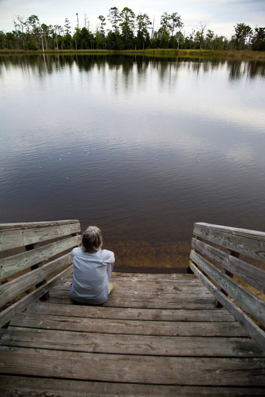
Ochlockonee River State Park, Sopchoppy, Florida
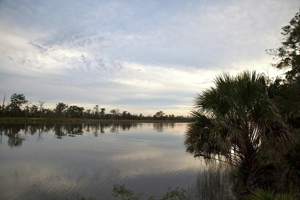
Ochlockonee River
 RSS Feed